File:North America (orthographic projection).svg

Original file (SVG file, nominally 550 × 550 pixels, file size: 457 KB)
It has been suggested by 147.161.244.97 (talk · contribs · count · global contribs) that this media object be renamed to “File:Northern America with Mexico (orthographic projection).svg” or another more suitable name for the following reason:
Difference in words:
| − | File: | + | File:Northern America with Mexico (orthographic projection).svg |
| − | File:North America (orthographic projection).svg | + | File:Northern America with Mexico (orthographic projection).svg |
New names that include a slash (/) are invalid; please do not use them. This request will be dealt with by an administrator or file mover. Please check if the rename meets one of the valid reasons before you move the file.
Summary
| Description |
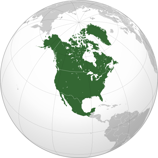
বাংলা: ওত্তরী আমেরিকার অর্থোগ্রাফিক মানচিত্র हिन्दी: उत्तरी अमेरिका का लेखनप्रक्षेपीय मानचित्र English: North America (orthographic projection) Српски (ћирилица): Северна Америка (ортографска пројекција) |
||||
| Date | |||||
| Source |
Own work (Original text: Own work,)
|
||||
| Author | Heraldry | ||||
| Permission (Reusing this file) |
|
||||
| Other versions |
Derivative works of this file: BK North America (orthographic projection).png .svg) |
||||
| SVG development | SVG watermarked with invisible embedded text. |

.svg)
.svg)
.svg)
.svg)
.svg)
.svg)
.svg)
.svg)
.svg)
.svg)
.svg)
.svg)
.svg)
.svg)
.svg)
.svg)
.svg)
.svg)
.svg)
.svg)
.svg)
.svg)
.svg)
.svg)
.svg)
.svg)
.svg)
.svg)
.svg)
.svg)
.svg)
.svg)
.svg)
.svg)
.svg)
.svg)
.svg)
.svg)
.svg)
.svg)
.svg)
.svg)
.svg)
.svg)
.svg)
.svg)
.svg)
.svg)
.svg)
.svg)
.svg)
.svg)
.svg)
.svg)
.svg)
.svg)
.svg)
.svg)
.svg)
.svg)
.svg)
.svg)
.svg)

.svg)
.svg)
.svg)
.svg)
.svg)
.svg)
.svg)
.svg)
.svg)
.svg)
.svg)
.svg)
.svg)
.svg)
.svg)
.svg)
.svg)
.svg)
.svg)
.svg)
.svg)


.svg)
.svg)
.svg)
.svg)
.svg)
.svg)
.svg)

.svg)
.svg)
.svg)
.svg)
.svg)
.svg)
.svg)
.svg)
.svg)
.svg)

.svg)
.svg)
.svg)
.svg)
.svg)
.svg)
.svg)
_without_national_boundaries.svg)
.svg)
.svg)
.svg)
.svg)
.svg)
.svg)

.svg)
.svg)
.png)
.svg)
.svg)
.svg)
.svg)

.svg)
.svg)
.svg)
.svg)
.svg)
.svg)
.svg)
.svg)
.svg)
.svg)
.svg)

.svg)
.svg)
.svg)
.svg)
.svg)
.svg)
.svg)
.svg)
.svg)

.svg)
.svg)

.svg)
.svg)
.svg)
.svg)
.svg)
.svg)
.svg)
.svg)
.svg)
.svg)
.svg)
.svg)
.svg)
.svg)
.svg)
.svg)
.svg)
.svg)
.svg)
.svg)
.svg)
.svg)
.svg)
.svg)
.svg)
.svg)
.svg)
_-_Crimea_disputed.svg)
.svg)
.svg)
.svg)
.svg)
.svg)
.svg)
.svg)
.svg)
.svg)
.svg)
.svg)
_political.svg)
.svg)
.svg)
.svg)
.svg)
_-_Crimea_disputed_-_no_borders.svg)
.svg)
.svg)
.svg)
.svg)
.svg)
.svg)
.svg)
.svg)
.svg)
.svg)
.svg)

.svg)
.svg)
.svg)

.png)
.svg)
.svg)
.svg)
.svg)
.svg)
.svg)
.svg)
.svg)
.svg)
.svg)
.svg)
.svg)
.svg)
.svg)
.svg)
.svg)
.svg)
.svg)
.svg)
.svg)
.svg)
.svg)
.svg)
.svg)
.svg)
.svg)
.svg)
.svg)
.svg)
.svg)
.svg)
.svg)
.svg)
.svg)
.png)
.svg)
.svg)
.svg)
_(orthographic_projection).png)
.svg)
.svg&action=edit&redlink=1)
.svg&newimage=Northern_America_with_Mexico_(orthographic_projection).svg&replace_reason=%5B%5BCOM%3AFR%23FR2%7CCriterion+2%5D%5D+%28meaningless+or+ambiguous+name%29+%C2%B7+With+current+name%2C+people+keep+overwriting+the+file+to+add+Central+America+or+to+remove+Mexico.+But+those+are+other+maps+we+already+have+in+other+files.+We+also+need+this+one+and+it+must+stay+as+it+is.)
.svg&newimage=Northern_America_with_Mexico_(orthographic_projection).svg&replace_reason=%5B%5BCOM%3AFR%23FR2%7CCriterion+2%5D%5D+%28meaningless+or+ambiguous+name%29+%C2%B7+With+current+name%2C+people+keep+overwriting+the+file+to+add+Central+America+or+to+remove+Mexico.+But+those+are+other+maps+we+already+have+in+other+files.+We+also+need+this+one+and+it+must+stay+as+it+is.)
.svg&wpNewTitle=File%3ANorthern+America+with+Mexico+%28orthographic+projection%29.svg&wpReason=%5B%5BCOM%3AFR%23FR2%7CCriterion+2%5D%5D+%28meaningless+or+ambiguous+name%29+%C2%B7+With+current+name%2C+people+keep+overwriting+the+file+to+add+Central+America+or+to+remove+Mexico.+But+those+are+other+maps+we+already+have+in+other+files.+We+also+need+this+one+and+it+must+stay+as+it+is.)
.png)
.svg)
.svg)
.svg)
.svg)
Licensing

|
Permission is granted to copy, distribute and/or modify this document under the terms of the GNU Free Documentation License, Version 1.2 or any later version published by the Free Software Foundation; with no Invariant Sections, no Front-Cover Texts, and no Back-Cover Texts. A copy of the license is included in the section entitled GNU Free Documentation License. |
| This file is licensed under the Creative Commons Attribution-Share Alike 3.0 Unported license. | ||
| ||
| This licensing tag was added to this file as part of the GFDL licensing update. |
File history
Click on a date/time to view the file as it appeared at that time.
| Date/Time | Thumbnail | Dimensions | User | Comment | |
|---|---|---|---|---|---|
| current | 20:58, 8 October 2025 | | 550 × 550 (457 KB) | Bultro | Reverted to version as of 16:06, 17 January 2023 (UTC) |
File usage
The following 14 pages use this file:
- Mindpowered Wiki:Userboxes/Interests/03
- Mindpowered Wiki:Userboxes/Location
- Mindpowered Wiki:Userboxes/Location/Americas
- Mindpowered Wiki:Userboxes/Location/Saint Pierre and Miquelon
- Mindpowered Wiki:Userboxes/Location/US-AK
- Mindpowered Wiki:Userboxes/Location/US-CA
- Mindpowered Wiki:Userboxes/Location/United States
- Mindpowered Wiki:Userboxes/Regions
- Mindpowered Wiki:Userboxes/Travel
- Mindpowered Wiki:Userboxes/Userboxes/CRUB
- Mindpowered Wiki:Userboxes/WikiProjects/Americas
- Mindpowered Wiki:Userboxes/WikiProjects/Regional/07
- Mindpowered Wiki:Userboxes/WikiProjects/alphabetical/20
- Template:User Saint Pierre and Miquelon/boxes
.svg)
.svg)
.svg&action=edit&redlink=1)
.svg)
.svg&printable=yes)
.svg&action=info)