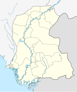
File:Pakistan-Sindh-location-map.svg
Jump to navigation
Jump to search


Size of this PNG preview of this SVG file: 500 × 600 pixels. Other resolutions: 200 × 240 pixels | 400 × 480 pixels | 640 × 768 pixels | 853 × 1,024 pixels | 915 × 1,098 pixels.
Original file (SVG file, nominally 915 × 1,098 pixels, file size: 376 KB)
Mostly many costs are living in berochandio brohi, chandio,khairani,Machi,rind,sangi,mengal,zahri,chutiani,lashari,and so more
Summary
| Description |
اردو: ذاتی کام English: Own Work |
| Date | |
| Source | Own work |
| Author | Kaleem Bhatti |
Own work
Licensing
I, the copyright holder of this work, hereby publish it under the following license:
This file is licensed under the Creative Commons Attribution-Share Alike 4.0 International license.
- You are free:
- to share – to copy, distribute and transmit the work
- to remix – to adapt the work
- Under the following conditions:
- attribution – You must give appropriate credit, provide a link to the license, and indicate if changes were made. You may do so in any reasonable manner, but not in any way that suggests the licensor endorses you or your use.
- share alike – If you remix, transform, or build upon the material, you must distribute your contributions under the same or compatible license as the original.
File history
Click on a date/time to view the file as it appeared at that time.
| Date/Time | Thumbnail | Dimensions | User | Comment | |
|---|---|---|---|---|---|
| current | 04:31, 4 January 2025 | | 915 × 1,098 (376 KB) | C1MM | Fixed district boundaries |
File usage
There are no pages that use this file.