File:Map Whole East Bay.jpg
Jump to navigation
Jump to search


Size of this preview: 799 × 600 pixels. Other resolutions: 320 × 240 pixels | 640 × 480 pixels | 818 × 614 pixels.
Original file (818 × 614 pixels, file size: 269 KB, MIME type: image/jpeg)
Summary
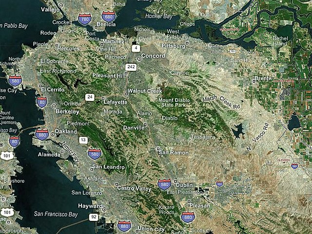
| Description | Map of the East Bay - color-coded |
| Date | |
| Source | NASA World Wind |
| Author | Boereck 17:27, 25 May 2006 (UTC) |
Licensing
| This image is in the public domain because it is a screenshot from NASA’s globe software World Wind using a public domain layer, such as Blue Marble, MODIS, Landsat, SRTM, USGS or GLOBE.
|
 |
File history
Click on a date/time to view the file as it appeared at that time.
| Date/Time | Thumbnail | Dimensions | User | Comment | |
|---|---|---|---|---|---|
| current | 17:25, 25 May 2006 | | 818 × 614 (269 KB) | Boereck | == Summary == {{Information| |Description= Map of the East Bay - color-coded |Source= NASA World Wind |Date= 05/23/2006 |Author= Boereck 15:27, 23 May 2006 (UTC) |Permission= see below |other_versions= }} == Licensing == {{PD-WorldWind}} |
File usage
The following 2 pages use this file: